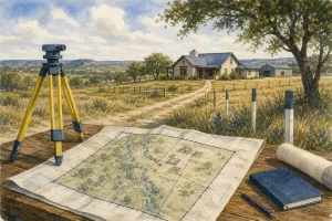
Ever looked at a Texas property survey and felt like you were reading a secret code? I’ll show you how to by starting with the document type, then tracing the lines, symbols, easements, structures, and notes that affect the land. Those colorful flags and small marks are not decoration. They can warn you where not to dig, build, or move a fence.
Table of Contents
- Step 1: Confirm What Kind of Survey You Have
- Step 2: Read the Title Block, Legend, Scale, and Boundary Lines
- Step 3: Trace Easements, Rights-of-Way, and Encroachments
- Step 4: Locate Structures, Utilities, Flood Zones, and Building Limits
- Step 5: Verify the Survey in the Field and Resolve Problems
- Frequently Asked Questions
- Conclusion
Step 1: Confirm What Kind of Survey You Have
Before you study the lines, find out what the document actually is. A survey describes one parcel and its physical features. A subdivision plat shows how a larger tract was divided into several lots. People often call both documents “the survey,” but they answer different questions.
Start with the title block. Look for the property address, legal description, lot number, subdivision name, city, county, survey date, and surveyor’s name. The legal description should match the deed or the title documents. If the address matches but the legal description does not, stop and ask questions.
Next, check the survey date. A dated survey is a snapshot. A newer fence, pool, addition, shed, or driveway may not appear on an older drawing. That does not automatically make the survey useless, but it means you should not assume the page shows current conditions.
For a new home, you may or a construction-related plat. For an existing home, you may have a boundary survey that shows current improvements. The scope matters. A boundary survey may not answer questions about drainage, elevation, flood risk, or building design.
A careful document review compares the survey with the deed, seller disclosure, title commitment, and visible property conditions. For additional context, see my Austin home buyer’s guide.
Key Takeaway: Confirm the survey type, date, legal description, and scope before relying on any line or symbol.
Step 2: Read the Title Block, Legend, Scale, and Boundary Lines
To , treat the page like a map with its own language. The title block tells you what the map covers. The legend explains symbols. The north arrow shows orientation. The scale tells you how the drawing relates to the land.
Do not guess at a symbol because it looks familiar. Find it in the legend first. A circle may mean a tree, a manhole, or a monument. A dashed line may show an easement, a fence, or a proposed feature. The surveyor’s notes control the meaning.
Then locate the boundary line. It may be shown with a heavier line, a color, or a label such as “property line.” Follow it around the entire parcel. Do not stop at the house or driveway. Check each corner and compare the boundary with nearby streets, adjoining lots, fences, walls, and alleys.
Boundary calls often include a bearing and a distance. A call such as south 70 degrees, 24 minutes, 42 seconds east describes direction. A distance such as 139.72 feet tells you how far that line runs. These numbers are directions from one point to the next. They are not ordinary GPS coordinates.
Start at a known corner, then follow each call in order. The final line should return to the starting point. Curved boundaries may use an arc table with a radius, length, chord, or central angle. Those details matter when a lot follows a curved street.
Property corners may be marked by an iron rod, steel rod, rebar, pipe, nail, concrete monument, or another boundary monument. The legend may say whether the marker was found or set. “Found” means the surveyor located an existing marker. “Set” means the surveyor placed a marker during the work. That distinction can help explain why two nearby marks do not mean the same thing.
A printed scale can help you understand the layout, but do not measure a paper copy after someone has resized it. Use the written bearings and distances for serious questions. A survey reading reference also shows why the legend, scale, north arrow, and surveyor certification deserve close review.
Here is the rule I use: a fence is evidence of a physical feature, not proof of the legal boundary. It may sit inside the line, outside it, or cross it.
Step 3: Trace Easements, Rights-of-Way, and Encroachments
When you , look for every line that limits use of the land. An easement gives someone a right to use part of the property for a stated purpose. A right-of-way may allow travel or access. Utility easements often support water, sewer, electric, gas, drainage, or communication lines.
Find the label first. It may include a width, such as 10 feet or 20 feet, and a recording reference. Trace the full shape. An easement that looks like a narrow strip on one side may widen near a street, drainage point, utility structure, or access route.
Read the written easement language in the title documents too. The survey shows location. The recorded document may explain who can enter, what work is allowed, and who must maintain the area. A survey alone may not tell you every restriction.
Next, compare the boundary with the improvements. An encroachment happens when a structure or feature crosses a boundary or easement line. Common examples include a fence, retaining wall, driveway, roof overhang, shed, pool, deck, or part of a building.
Do not assume every conflict requires the same response. A small fence issue may call for a surveyor’s review and a written agreement. A building that crosses a boundary can raise title, insurance, financing, and legal concerns. A utility easement under a planned pool may affect whether the pool can be built or repaired.
I also look for notes about access. A lot may touch a road but still have a recorded access issue. Shared driveways can involve maintenance duties or limits on changes. If the survey refers to a separate instrument, ask the title company for that document before your deadline.
For sellers, gather older surveys and records of permitted improvements. Review the seller closing guide before closing.
If a boundary question involves a long-used fence or disputed use, do not rely on a casual conversation with a neighbor. Texas property rights can involve facts beyond the drawing, including deeds, recorded instruments, possession, and court orders. Get advice from the right professional before moving anything.
Step 4: Locate Structures, Utilities, Flood Zones, and Building Limits
A Texas property survey may show more than the lot outline. It can place the house, garage, driveway, sidewalks, decks, pools, sheds, trees, utility features, drainage paths, and other improvements on the page. This helps you see what sits between the boundary and the buildable area.
Find the building footprint first. Then read the dimensions from the building to each property line. Those distances are site measurements. They are not always the same as the required setback under local rules, deed restrictions, or a recorded plat.
Look for building lines, setback lines, and restricted areas. A building line may show where construction cannot pass. A survey may also show a drainage easement, tree protection area, stream buffer, slope limit, or environmental buffer. The label should tell you what the line means, but the governing agency or recorded document may control the exact restriction.
Flood information deserves its own check. A survey may include a flood-zone note, floodplain line, base flood elevation, or elevation certificate reference. A flood-zone label on the survey is a warning to verify current map information and insurance requirements. It is not a promise that a property will or will not flood.
Utilities have their own shorthand. Look for water lines, sewer lines, storm drains, gas lines, power lines, manholes, cleanouts, fire hydrants, and drainage structures. A circle marked “MH” often identifies a manhole. Pipes may have size labels or flow arrows. Topographic lines show changes in ground elevation, while spot elevations identify specific points.
Elevation notes can be confusing. A finished-floor elevation may use a reference plane such as sea level or a local datum. Another number may show the outside grade. The difference can help explain drainage and the height of a foundation, but you need the survey notes to know which reference system applies.
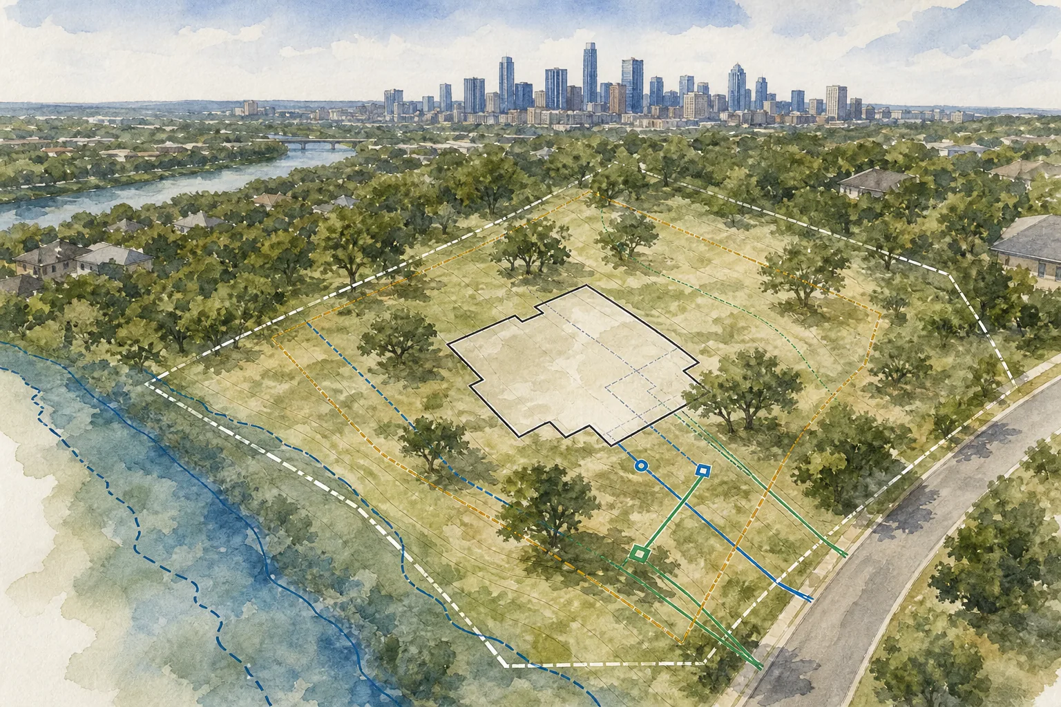
Pro Tip: Before planning a fence, pool, addition, or detached building, compare the survey with local permit rules and deed restrictions. The survey shows conditions. It does not grant permission to build.
Step 5: Verify the Survey in the Field and Resolve Problems
The final step in reading a property survey is to compare the paper with the land. Begin with one known monument. Use the survey’s bearing and distance calls to estimate the next corner. A compass can help with direction. A GPS app can help you get near the area. Neither replaces a licensed surveyor.
Walk the line only where you have permission and where the ground is safe. Look for iron rods, pipes, nails, concrete markers, stakes, fence corners, and other features named in the survey. Measure from a known point, then compare what you find with the written call.
Survey flags and tape can help you spot marked locations. Flags may act as lasting visual markers, while tape often marks a temporary line. Do not treat either one as the legal boundary without checking the survey and monument description.
One symbol that causes confusion is the control point. It identifies a location the surveyor does not want disturbed. It is not a special feature that you should move, cover, or treat as a building point. If you see a control point near planned work, keep it intact and ask what the survey notes require.
A locating tool may help locate a buried iron rod after you have narrowed the search area. Be careful around utilities, private land, and buried objects. A positioning device can place you close to a corner, but its result may not be accurate enough to establish a legal line.
Stop and get professional help when a monument is missing, damaged, moved, or far from the expected position. Also stop if the fence disagrees with the surveyed line, if two surveys conflict, or if a neighbor disputes the location. Do not reset a pin yourself. A Texas licensed land surveyor can review the evidence, perform additional work, and explain what the record supports.
Professional licensing follows applicable state laws and rules. For general reference, review the available laws and rules for the regulatory framework behind licensed surveying work.
Once you identify a problem, write down the exact location and question. Send the survey, title reference, photos, and any conflicting document to the title company, surveyor, attorney, or real estate professional who needs to review it. Keep the contract deadlines visible while you do this.
Over more than 40 years in Texas real estate, I’ve learned that a small unanswered survey question is easier to handle before closing than after a fence, pool, or addition is built. I’m happy to help my clients organize the question, identify the right next step, and understand how it fits into the transaction. The final legal opinion still belongs with the surveyor or attorney who handles that issue.
Frequently Asked Questions
What does a property survey show in Texas?
A Texas property survey shows the parcel’s boundaries and may show buildings, fences, easements, rights-of-way, utilities, elevations, drainage features, trees, setbacks, and encroachments. The exact content depends on the survey’s type and scope. notes first, because a boundary survey may not include every item needed for construction or flood analysis.
How do I know where my property line is on a survey?
The property line is identified by the boundary line described in the legend and supported by bearings, distances, and corner monuments. Follow the line from one marked corner to the next. Do not assume a fence marks the legal boundary. If a corner is missing or a fence conflicts with the drawing, ask a licensed Texas surveyor to review the evidence.
What do the numbers on a Texas property survey mean?
The numbers usually show distances, bearings, elevations, lot dimensions, or references to recorded documents. A bearing gives direction from one point to another. A distance tells you how far that line runs. Elevation numbers use a stated reference plane. They are not automatically GPS coordinates, so notes before interpreting them.
Can I use an old survey when buying a Texas home?
You may be able to use an old survey, but acceptance depends on the transaction, title company, lender, survey accuracy, and changes to the property. Compare the drawing with the current house, fences, additions, pools, and other improvements. If the survey does not reflect current conditions, a new survey may be needed before closing.
What should I do if a survey pin is missing?
If a survey pin is missing, do not place a replacement yourself. Use the recorded survey only to narrow the search area, then contact a licensed land surveyor. The surveyor can review the calls, nearby monuments, record documents, and field evidence. A search aid may help with searching, but it cannot establish a legal boundary by itself.
Conclusion
in order: confirm the document, decode the legend, trace the boundary, check restrictions, study improvements, then verify any concern in the field. If you find a missing monument, encroachment, easement conflict, or building question, raise it before your contract deadline. For the broader purchase process, review this home buyer’s guide, then bring specific survey questions to me, the title company, a licensed surveyor, or an attorney as needed.
Ready to put this into practice? Robbie English, REALTOR, Broker was built for exactly this.