Thinking about a Texas home? A land survey tells you exactly where the property lines sit and what sits on the lot. Here’s a straight‑forward guide that covers what a survey is, what it shows, the main types, when you should order one, and what to watch out for on price and scope.
What Is a Survey in Real Estate?
A land survey is a professional measurement of a parcel that produces a drawn‑out map of boundaries, dimensions, and visible features. Licensed surveyors use GPS, total stations, and historic deed research to place each corner with mathematical precision. The result is a sealed plat that the county, title company, or lender can rely on for legal decisions.
In Texas, a survey must be performed by a Registered Professional Land Surveyor (RPLS) who is licensed by the state. For Texas licensing information, see the state licensing website.
Surveys are more than a line on a map. They reveal easements that let utilities cross the land, encroachments where a neighbor’s fence may overstep, and the exact location of any permanent structures. Lenders often require a survey before they will fund a mortgage, because the survey confirms the collateral’s true boundaries.
For a dee documents differ from title commitments, see my post What Is a Title Commitment and Why Do You Need to See One?
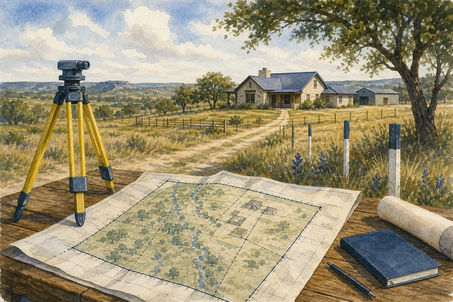
What a Residential Property Survey Shows
A residential survey pulls together three core data sets: the legal boundary lines, the location of any structures, and any recorded easements or encroachments. The boundary line tells you where the county deed says you own. The structure locations, house, garage, pool, fences, are measured from those lines so you can see if anything sits over the edge.
In Austin and surrounding Hill Country towns, surveys often include setback lines required by city zoning. Those lines tell you how far a new deck or accessory dwelling can be from the street or property line. The survey also marks utility easements for water, electric, or storm‑drain systems that the city or a neighbor may have rights to use.
One usable example: a buyer discovered that a neighbor’s driveway crossed the lot line by about six inches. The survey’s precise measurement let the buyer negotiate a tiny boundary adjustment instead of a costly legal fight.
Survey reports can also list flood‑plain designations, which matter for insurance. If the plat shows the home sits in a 100‑year flood zone, the buyer knows to budget for flood insurance before closing.
Need to decode a survey you’ve just received? Check out my step‑by‑step guide How to Read a Property Survey in Texas for tips on interpreting the legend, monuments, and notes.
Common Types of Real Estate Surveys
Not every survey is created equal. The type you need depends on the transaction, the lender’s requirements, and any planned improvements. Below are the most common categories you’ll encounter in Texas.
Boundary Survey This is the workhorse for most residential deals. It re‑establishes the legal corners based on deed research and field evidence. The deliverable is a sealed plat that shows the lot’s exact perimeter. It’s usually enough for a refinance or a simple purchase.
ALTA/NSPS Survey A higher‑grade survey that follows national standards set by the American Land Title Association and the National Society of Professional Surveyors. It adds details like utility easements, rights‑of‑way, and flood‑plain data. Commercial lenders and many title insurers require it for larger transactions.
Topographic Survey This map captures elevation changes, contour lines, and natural features. Engineers use it for grading permits and site‑development plans. It does not establish legal boundaries unless paired with a boundary survey.
As‑Built Survey Maps the physical reality of the property versus the original schematics. It may be used before or after construction, major renovations, or to verify proper construction.
Location Survey A quick, low‑cost sketch that shows the general position of the parcel on a larger map. It’s useful for closing when the lot is within a subdivision and the boundaries are already well‑recorded.
Mortgage Survey Tailored to a lender’s needs. It includes at least a boundary line and an as‑built view of existing structures, allowing the lender to confirm the collateral’s dimensions.
For a quick visual of how these surveys differ, compare their purposes and requirements.

When Buyers and Sellers Need a Survey
Most Texas lenders make the decision for you: if you’re financing, the loan package will list a survey as a condition. That’s because the lender wants the survey exception removed from the title commitment.
If you’re paying cash, you have more flexibility, but there are three common scenarios where a survey still makes sense.
- The property isn’t part of a platted subdivision. Without recorded lot lines, a survey is the only way to prove where the parcel ends.
- There are improvements (a new deck, a detached garage, a pool) close to the apparent boundary. A survey will confirm you’re not building over a neighbor’s easement.
- You plan to subdivide, add an accessory dwelling, or build a fence that could affect neighboring owners. The local planning office will often ask for a current survey before approving permits.
In a cash deal, the cost of a survey is usually a fraction of the purchase price. If you’re unsure, ordering a survey protects you from surprise boundary disputes that can stall closing for weeks.
When selling, having a recent survey on file can speed up the buyer’s due‑diligence and may let you negotiate a higher price. A buyer’s agent will often ask the seller to provide a copy of the latest survey.
Remember to check the option period deadline in your Texas residential contract. If the survey reveals a problem after that deadline, you could lose the right to back out or renegotiate.
Survey Costs, Limitations, and Problems to Watch For
Survey prices vary widely based on size, terrain, and the level of detail required. In 2026, pricing for a typical residential boundary survey in Austin varies by project, while a full ALTA/NSPS survey can climb into the several‑thousand‑dollar range.
For a one‑acre parcel, pricing varies depending on complexity. Flat, open land is cheaper; hilly or heavily wooded sites add time and equipment costs. Some surveyors charge hourly rates on top of the base fee, especially if they need to dig into county records or travel long distances.
Limitations you should flag up front include:
- Scope: A simple location survey will not satisfy a lender or a building permit.
- Accuracy tolerance: Most residential surveys allow a small margin of error (usually a few inches). If your project requires tighter tolerances, request a higher‑precision survey.
- Monument durability: Surveyors place permanent markers. Still, extreme weather can shift stakes, so ask the surveyor to re‑verify monuments after a storm.
Problems to watch for:
- Out‑of‑date surveys: If the last survey is older than five years, or if the owner added a shed or fence after it was done, the document may no longer reflect reality.
- Missing easements: Some older surveys omit utility easements that were added later. Verify with the utility companies or the county’s GIS portal.
One way to avoid surprises is to request a “survey affidavit” that the seller signs, confirming that the existing survey is accurate as of the closing date. This is a common practice in Texas contracts and can be added as an amendment.
Frequently Asked Questions
What does a land survey actually include?
A land survey includes a legal description of the parcel, a drawn‑out plat showing boundary lines, location of any structures, and notes on easements or encroachments. The first sentence of the answer directly states that these are the core components.
Do I have to pay for the survey?
Survey costs are usually negotiated in the purchase contract. In most Texas deals, the buyer pays for a new survey, but sellers sometimes provide an existing one to speed up closing.
Can I do a DIY survey?
A DIY map may help you visualize the land, but it won’t satisfy lenders or title insurers.
How long does a survey take?
A standard boundary survey for a typical lot takes about one to two weeks from fieldwork to the sealed plat, assuming the surveyor can access county records quickly.
What is the difference between a survey and a title commitment?
A survey shows the physical boundaries and improvements on the ground, while a title commitment lists legal interests, liens, and recorded restrictions. Both documents are needed for a clean closing.
Will a survey reveal hidden water wells or underground utilities?
Surveys note known utilities and recorded easements, but they don’t guarantee discovery of undocumented wells or hidden lines. For that, you may need a separate utility locate service.
Conclusion
If you’re buying or selling in Texas, order a boundary or ALTA survey that matches your lender’s needs and any planned improvements. Contact a licensed Texas surveyor early, review the plat with a real‑estate attorney, and keep the survey on file for future projects.
Ready to start? Reach out to me, Robbie English, REALTOR, Broker, and I’ll connect you with a trusted survey professional who can deliver a survey that meets your timeline and budget.